
Robotics Student Introduces Novel Unifying Metric for State Estimation
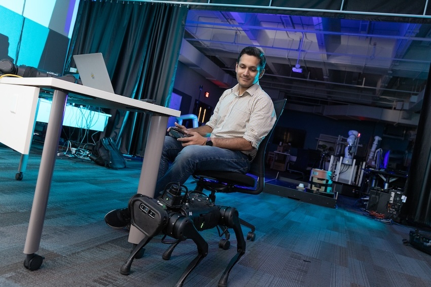
Varun Agrawal believes there’s a place for classical methods in robotics.
He doesn’t work with cameras or use computer vision techniques. He doesn’t use deep learning methods to teach embodied agents about their location in their environments.
“All I do is get information from the robot’s sense of self — measurements from the joints, contact sensors, the inertial measurement unit (IMU),” Agrawal said.
State estimation determines a robot’s current location. It is essential for any robot to function, Agrawal said. Once it knows where it is, the robot can calculate the most efficient route to its objective.
“It’s like Google Maps computing the best driving directions to get you to your destination in the shortest time, or whatever metrics you care about,” he said. “But you need to know the starting point before you can get going, and that’s what state estimation does.”
Many roboticists have moved from state estimation to machine learning methods such as deep learning, computer vision algorithms, and large-language models (LLMs). Some argue state estimation is outdated because it’s a tedious process of manual calculations.
But in a paper accepted into the 2024 Institute of Electrical and Electronics Engineers International Conference on Robotics and Automation (ICRA), Agrawal proposes a unifying state estimation metric.
For it to work, one must know the linear and angular velocities.
OLD DOG, NEW TRICKS
While deep learning models have created faster and more advanced ways to determine state estimation, most of the models are rooted in metrics based on simultaneous localization and mapping (SLAM). The robot builds a map of its environment while identifying its location on the map.
SLAM, however, does not take into account velocity, Agrawal said.
“There seemed to be a gap with SLAM that didn’t make sense to me,” he said. “For example, different velocity profiles give you the same position profiles. If you drive a car and hit the gas, and you’re going at an even velocity, you can make the same distance if you drive fast initially and then brake hard.”
Agrawal begins his method by learning ground truth data through motion capture. Though motion capture accurately measures rotations and translations, it doesn’t measure velocity. However, it allows Agrawal to use calculus to solve for the missing velocity variables.
Agrawal demonstrated how his approach performs on multiple robotic platforms where state estimation is vital.
UNIVERSAL BENEFITS
But Agrawal doesn’t plan on stopping at quadrupedal robots. He’s already explored many of these same concepts for humanoid robots in a 2022 paper: Proprioceptive State Estimation of Legged Robots with Kinematic Chain Modeling.
Agrawal authored that paper while interning at the Florida Institute for Human & Machine Cognition (IHMC) in Pensacola, Fla., where he worked with state-of-the-art humanoid robots. Agrawal said he still creates new code and sends it to IHMU to test on humanoid robots.
“I don’t want to be siloed by one specific robot,” he said. “I want this to apply to robots with any number of legs.
“I would love to work with humanoid robots more and train them to work in common human environments. I believe there’s a lot of potential in them.”
Among other benefits, Agrawal said his metric “fits right into all the software tools we have today with minimal changes.”’
It’s also “cost effective and energy efficient. The batteries last longer, and it uses less memory.”
BASIC INSTINCTS
Despite the continued advancement and investment in deep learning and other machine learning methods, Agrawal believes it’s still important for a robot to determine its location without outside assistance. Like having a compass or looking to the North Star when a GPS fails, Agrawal’s metric for state estimation is useful in almost any scenario.
Some environments may cause features like cameras and GPS monitors to malfunction, while environments like cave systems are uncharted.
“If an earthquake happened, and you’re sending in a robot for search and rescue, it can travel under rubble without needing the camera for anything,” he said. “Or if the camera malfunctions, it can still operate.”


